Highworth walls [3]
Introduction
The photograph on this page of Highworth walls [3] by Michael Dibb as part of the Geograph project.
The Geograph project started in 2005 with the aim of publishing, organising and preserving representative images for every square kilometre of Great Britain, Ireland and the Isle of Man.

There are currently over 7.5m images from over 14,400 individuals and you can help contribute to the project by visiting https://www.geograph.org.uk
Highworth walls [3]
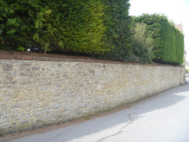
Image: © Michael Dibb Taken: 18 Apr 2019
The garden wall of the former Westrop Farmhouse is early or mid 19th century and is listed, grade II, with details at: https://historicengland.org.uk/listing/the-list/list-entry/1023390
Images are licensed for reuse under creativecommons.org/licenses/by-sa/2.0
Image Location
Latitude
51.634105
Longitude
-1.711558