Coach House and Manor Tower, Oakworth from the rear
Introduction
The photograph on this page of Coach House and Manor Tower, Oakworth from the rear by Stephen Craven as part of the Geograph project.
The Geograph project started in 2005 with the aim of publishing, organising and preserving representative images for every square kilometre of Great Britain, Ireland and the Isle of Man.

There are currently over 7.5m images from over 14,400 individuals and you can help contribute to the project by visiting https://www.geograph.org.uk
Coach House and Manor Tower, Oakworth from the rear
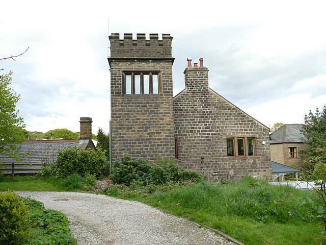
Image: © Stephen Craven Taken: 11 May 2019
According to Bradford Council's detailed appraisal of the Oakworth Conservation Area, the tower is early 20th century, though in an older style. It is not listed. Viewed from the churchyard.
Images are licensed for reuse under creativecommons.org/licenses/by-sa/2.0
Image Location
Latitude
53.845703
Longitude
-1.954062