Path from Hawthornhill Road
Introduction
The photograph on this page of Path from Hawthornhill Road by Lairich Rig as part of the Geograph project.
The Geograph project started in 2005 with the aim of publishing, organising and preserving representative images for every square kilometre of Great Britain, Ireland and the Isle of Man.

There are currently over 7.5m images from over 14,400 individuals and you can help contribute to the project by visiting https://www.geograph.org.uk
Path from Hawthornhill Road
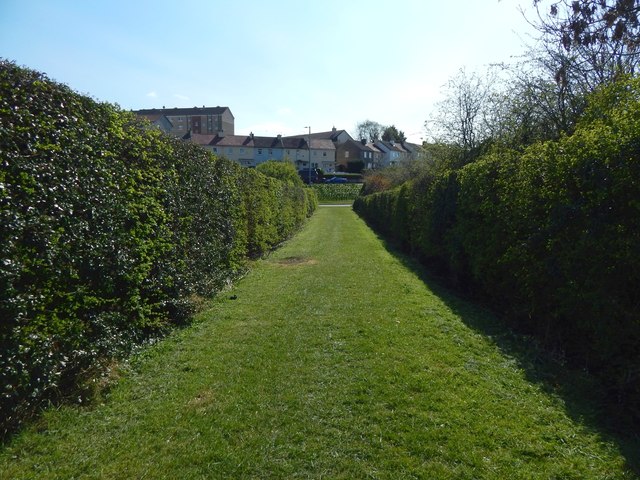
Image: © Lairich Rig Taken: 9 Apr 2019
This path was once a road leading from Hawthornhill Farm; the farm, now long gone, was at the other end, behind the photographer: Image Ahead, the path meets Cardross Road; see Image, a view back from the other side of that road. The houses in the background are in Westcliff. Compare Image, similar to the present picture, but looking in the other direction along the path.
Images are licensed for reuse under creativecommons.org/licenses/by-sa/2.0
Image Location
Latitude
55.949339
Longitude
-4.601698