Footpath in Briestfield, near Red Doles Park
Introduction
The photograph on this page of Footpath in Briestfield, near Red Doles Park by Humphrey Bolton as part of the Geograph project.
The Geograph project started in 2005 with the aim of publishing, organising and preserving representative images for every square kilometre of Great Britain, Ireland and the Isle of Man.

There are currently over 7.5m images from over 14,400 individuals and you can help contribute to the project by visiting https://www.geograph.org.uk
Footpath in Briestfield, near Red Doles Park
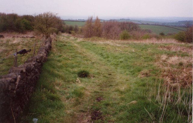
Image: © Humphrey Bolton Taken: 22 Apr 2002
This footpath runs through what appears to be common land, near to the village of Grange Moor.
Images are licensed for reuse under creativecommons.org/licenses/by-sa/2.0
Image Location


Leaflet Map data © OpenStreetMap
Latitude
53.642741
Longitude
-1.664165