Burleigh Castle farm steading
Introduction
The photograph on this page of Burleigh Castle farm steading by Richard Sutcliffe as part of the Geograph project.
The Geograph project started in 2005 with the aim of publishing, organising and preserving representative images for every square kilometre of Great Britain, Ireland and the Isle of Man.

There are currently over 7.5m images from over 14,400 individuals and you can help contribute to the project by visiting https://www.geograph.org.uk
Burleigh Castle farm steading
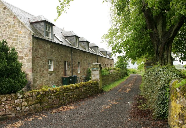
Image: © Richard Sutcliffe Taken: 18 May 2019
Part of the Category B listed [http://portal.historicenvironment.scot/designation/LB19054] farmhouse and outbuildings, built in the early 19th century. The road leads round the back to the farmhouse (Burleigh House).
Images are licensed for reuse under creativecommons.org/licenses/by-sa/2.0
Image Location
Latitude
56.225411
Longitude
-3.406504