Bedford House, Bedford Place, Alloa
Introduction
The photograph on this page of Bedford House, Bedford Place, Alloa by Richard Sutcliffe as part of the Geograph project.
The Geograph project started in 2005 with the aim of publishing, organising and preserving representative images for every square kilometre of Great Britain, Ireland and the Isle of Man.

There are currently over 7.5m images from over 14,400 individuals and you can help contribute to the project by visiting https://www.geograph.org.uk
Bedford House, Bedford Place, Alloa
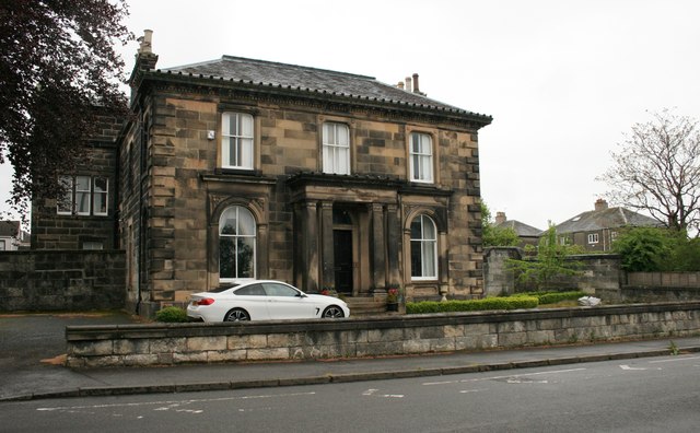
Image: © Richard Sutcliffe Taken: 18 May 2019
A Category B listed building, from circa 1855. At one time the building was in use as Regional Council offices.
Images are licensed for reuse under creativecommons.org/licenses/by-sa/2.0
Image Location
Latitude
56.11385
Longitude
-3.798236