Kirkgate, Alloa
Introduction
The photograph on this page of Kirkgate, Alloa by Richard Sutcliffe as part of the Geograph project.
The Geograph project started in 2005 with the aim of publishing, organising and preserving representative images for every square kilometre of Great Britain, Ireland and the Isle of Man.

There are currently over 7.5m images from over 14,400 individuals and you can help contribute to the project by visiting https://www.geograph.org.uk
Kirkgate, Alloa
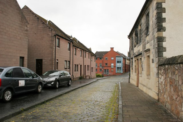
Image: © Richard Sutcliffe Taken: 18 May 2019
Looking towards Coalgate. The building on the right is Star House (25 Kirkgate). It was built in 1695 as the townhouse of master mason Tobias Bauchop and features a carved sundial above the door [https://www.geograph.org.uk/photo/6158664]. House and sundial are Category A listed [http://portal.historicenvironment.scot/designation/LB20955].
Images are licensed for reuse under creativecommons.org/licenses/by-sa/2.0
Image Location
Latitude
56.113107
Longitude
-3.793698