Brook Road Open Space
Introduction
The photograph on this page of Brook Road Open Space by Bill Boaden as part of the Geograph project.
The Geograph project started in 2005 with the aim of publishing, organising and preserving representative images for every square kilometre of Great Britain, Ireland and the Isle of Man.

There are currently over 7.5m images from over 14,400 individuals and you can help contribute to the project by visiting https://www.geograph.org.uk
Brook Road Open Space
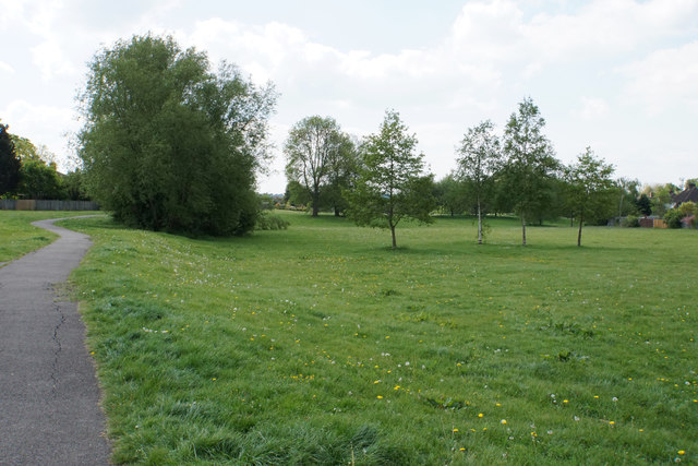
Image: © Bill Boaden Taken: 16 May 2019
A large green area retained during the housing expansion east of Merstham Station.
Images are licensed for reuse under creativecommons.org/licenses/by-sa/2.0
Image Location
Latitude
51.263369
Longitude
-0.146745