The Erewash Canal at Sandiacre
Introduction
The photograph on this page of The Erewash Canal at Sandiacre by Alan Murray-Rust as part of the Geograph project.
The Geograph project started in 2005 with the aim of publishing, organising and preserving representative images for every square kilometre of Great Britain, Ireland and the Isle of Man.

There are currently over 7.5m images from over 14,400 individuals and you can help contribute to the project by visiting https://www.geograph.org.uk
The Erewash Canal at Sandiacre
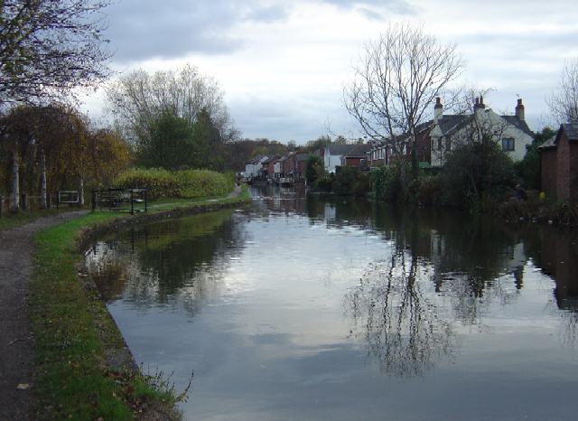
Image: © Alan Murray-Rust Taken: 11 Nov 2007
The view from the towpath at Station Road bridge (compare with Image from up on the bridge). The canal widens here to provide a winding hole to allow boats to be turned round.
Images are licensed for reuse under creativecommons.org/licenses/by-sa/2.0
Image Location
Latitude
52.920993
Longitude
-1.28812