Pasture and farm buildings, Wendron
Introduction
The photograph on this page of Pasture and farm buildings, Wendron by Andrew Smith as part of the Geograph project.
The Geograph project started in 2005 with the aim of publishing, organising and preserving representative images for every square kilometre of Great Britain, Ireland and the Isle of Man.

There are currently over 7.5m images from over 14,400 individuals and you can help contribute to the project by visiting https://www.geograph.org.uk
Pasture and farm buildings, Wendron
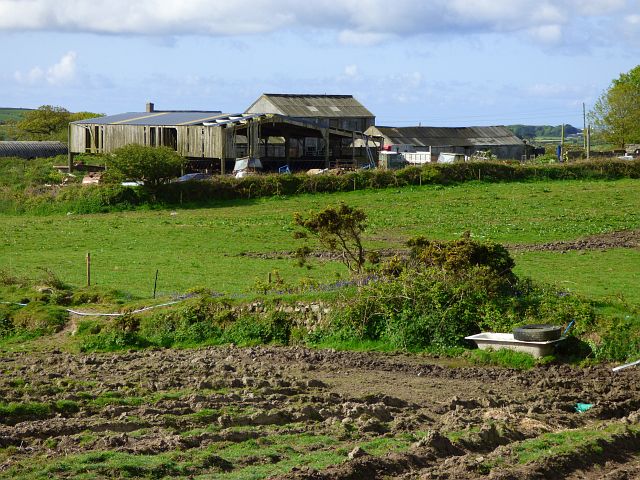
Image: © Andrew Smith Taken: 11 May 2019
Wheal Enys Farm at Porkellis viewed from the footpath to Higher Boswin.
Images are licensed for reuse under creativecommons.org/licenses/by-sa/2.0
Image Location
Latitude
50.157875
Longitude
-5.232317