New houses in Roselands Drive, Sedlescombe Street
Introduction
The photograph on this page of New houses in Roselands Drive, Sedlescombe Street by Patrick Roper as part of the Geograph project.
The Geograph project started in 2005 with the aim of publishing, organising and preserving representative images for every square kilometre of Great Britain, Ireland and the Isle of Man.

There are currently over 7.5m images from over 14,400 individuals and you can help contribute to the project by visiting https://www.geograph.org.uk
New houses in Roselands Drive, Sedlescombe Street
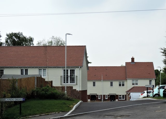
Image: © Patrick Roper Taken: 18 May 2019
These houses replace the Roselands old people's home. The new road serving them has been called 'Roselands Drive'.
Images are licensed for reuse under creativecommons.org/licenses/by-sa/2.0
Image Location
Latitude
50.934868
Longitude
0.532316