Looking North-West up Lodge Road
Introduction
The photograph on this page of Looking North-West up Lodge Road by Zorba the Geek as part of the Geograph project.
The Geograph project started in 2005 with the aim of publishing, organising and preserving representative images for every square kilometre of Great Britain, Ireland and the Isle of Man.

There are currently over 7.5m images from over 14,400 individuals and you can help contribute to the project by visiting https://www.geograph.org.uk
Looking North-West up Lodge Road
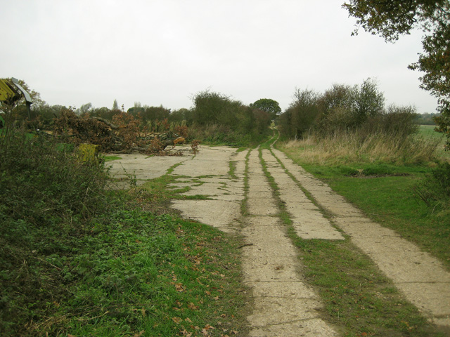
Image: © Zorba the Geek Taken: 18 Nov 2007
Taken from almost the same spot as Image but facing the opposite direction, this picture shows an expanse of concrete over what is classified as a Public Bridleway: not ideal for horses! To the left is a hard standing with farm machinery and felled timber, to the right is the track shown on Landranger, heading down into the valley.
Images are licensed for reuse under creativecommons.org/licenses/by-sa/2.0
Image Location


Leaflet Map data © OpenStreetMap
Latitude
51.840363
Longitude
1.1659