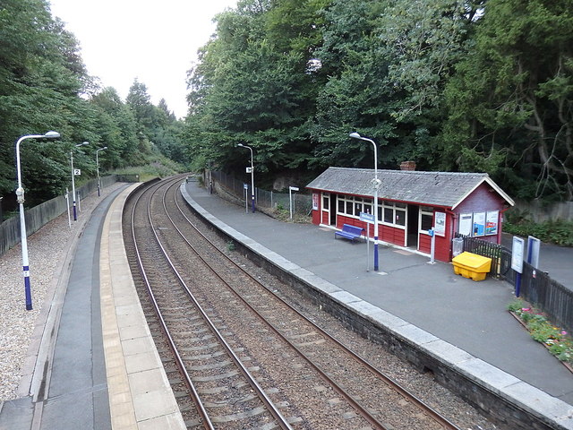
Wetheral station
Introduction
The photograph on this page of Wetheral station by Rudi Winter as part of the Geograph project.
The Geograph project started in 2005 with the aim of publishing, organising and preserving representative images for every square kilometre of Great Britain, Ireland and the Isle of Man.
There are currently over 7.5m images from over 14,400 individuals and you can help contribute to the project by visiting https://www.geograph.org.uk

Image: © Rudi Winter Taken: 6 Aug 2018
The station on the Tyne Valley Line from Carlisle to Newcastle was opened in 1836, closed in 1967 and re-opened in 1981. It is located just to the west of Corby Bridge http://www.geograph.org.uk/photo/6155483 across the River Eden http://www.geograph.org.uk/photo/6155539 and serves both Wetheral http://www.geograph.org.uk/photo/6155459 and Great Corby http://www.geograph.org.uk/photo/6155575 on the other side of the river. The view is in the direction of Carlisle, taken from the footbridge http://www.geograph.org.uk/photo/6155519 giving access to the eastbound platform from the village of Wetheral.

