Victorian and Edwardian dates on a Lampeter church tablet
Introduction
The photograph on this page of Victorian and Edwardian dates on a Lampeter church tablet by Jaggery as part of the Geograph project.
The Geograph project started in 2005 with the aim of publishing, organising and preserving representative images for every square kilometre of Great Britain, Ireland and the Isle of Man.

There are currently over 7.5m images from over 14,400 individuals and you can help contribute to the project by visiting https://www.geograph.org.uk
Victorian and Edwardian dates on a Lampeter church tablet
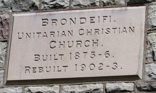
Image: © Jaggery Taken: 11 May 2019
The tablet on Brondeifi Unitarian Christian Church https://www.geograph.org.uk/photo/6154887 shows that the building is the 1902-1903 rebuild of the 1875-1876 original.
Images are licensed for reuse under creativecommons.org/licenses/by-sa/2.0
Image Location
Latitude
52.110725
Longitude
-4.073133