Ruskin, Caversham
Introduction
The photograph on this page of Ruskin, Caversham by Andrew Smith as part of the Geograph project.
The Geograph project started in 2005 with the aim of publishing, organising and preserving representative images for every square kilometre of Great Britain, Ireland and the Isle of Man.

There are currently over 7.5m images from over 14,400 individuals and you can help contribute to the project by visiting https://www.geograph.org.uk
Ruskin, Caversham
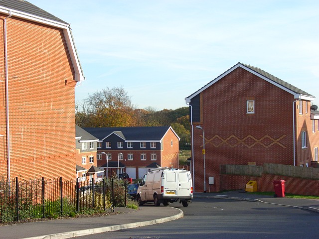
Image: © Andrew Smith Taken: 12 Nov 2007
A new housing development just off the Henley Road. The decorative use of differently coloured bricks is characteristic of many of Reading's older properties.
Images are licensed for reuse under creativecommons.org/licenses/by-sa/2.0
Image Location
Latitude
51.470193
Longitude
-0.953294