Path heading towards Pieries Burn Bridge
Introduction
The photograph on this page of Path heading towards Pieries Burn Bridge by Trevor Littlewood as part of the Geograph project.
The Geograph project started in 2005 with the aim of publishing, organising and preserving representative images for every square kilometre of Great Britain, Ireland and the Isle of Man.

There are currently over 7.5m images from over 14,400 individuals and you can help contribute to the project by visiting https://www.geograph.org.uk
Path heading towards Pieries Burn Bridge
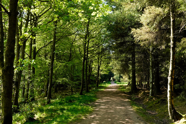
Image: © Trevor Littlewood Taken: 15 May 2019
The broad path is in use as a waymarked walking trail of the Blairadam Forest: the yellow one. It's seen heading west in this image. The woodland, though deciduous and appearing to be natural, is not; it was developed by generations of the Adam family beginning in the 1730's.
Images are licensed for reuse under creativecommons.org/licenses/by-sa/2.0
Image Location
Latitude
56.139976
Longitude
-3.420763