Trough, St John
Introduction
The photograph on this page of Trough, St John by Derek Harper as part of the Geograph project.
The Geograph project started in 2005 with the aim of publishing, organising and preserving representative images for every square kilometre of Great Britain, Ireland and the Isle of Man.

There are currently over 7.5m images from over 14,400 individuals and you can help contribute to the project by visiting https://www.geograph.org.uk
Trough, St John
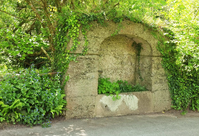
Image: © Derek Harper Taken: 11 May 2019
By the lane southeast of the church, and completely covered in vegetation when the Google Streetview car last passed. See also Image
Images are licensed for reuse under creativecommons.org/licenses/by-sa/2.0
Image Location


Leaflet Map data © OpenStreetMap
Latitude
50.360802
Longitude
-4.239992