West Hagbourne: outbuildings at Manor Farm
Introduction
The photograph on this page of West Hagbourne: outbuildings at Manor Farm by Stefan Czapski as part of the Geograph project.
The Geograph project started in 2005 with the aim of publishing, organising and preserving representative images for every square kilometre of Great Britain, Ireland and the Isle of Man.

There are currently over 7.5m images from over 14,400 individuals and you can help contribute to the project by visiting https://www.geograph.org.uk
West Hagbourne: outbuildings at Manor Farm
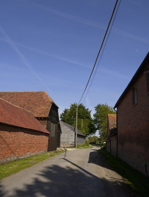
Image: © Stefan Czapski Taken: 13 May 2019
A number of outbuildings here have been converted for business or residential purposes.
Images are licensed for reuse under creativecommons.org/licenses/by-sa/2.0
Image Location


Leaflet Map data © OpenStreetMap
Latitude
51.585286
Longitude
-1.260395