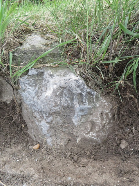
Damaged milestone in the B5126, Mold Road
Introduction
The photograph on this page of Damaged milestone in the B5126, Mold Road by John S Turner as part of the Geograph project.
The Geograph project started in 2005 with the aim of publishing, organising and preserving representative images for every square kilometre of Great Britain, Ireland and the Isle of Man.
There are currently over 7.5m images from over 14,400 individuals and you can help contribute to the project by visiting https://www.geograph.org.uk

Image: © John S Turner Taken: 16 May 2019
This milestone first appears on old maps in 1898 and has been badly damaged since then. It stands right on the edge of the B5126 road, near Bryn-Gwyn Lane, and is mostly buried in the grass verge. According to the maps the inscription once read 'Queensferry 3¼ Mold 5', and it is just possible to make out a figure '5' on the right hand side of the stone. It can just be seen in situ in Image and Image Milestone Society National ID: FLT_MDQF05A

