Church Lane, St John
Introduction
The photograph on this page of Church Lane, St John by Derek Harper as part of the Geograph project.
The Geograph project started in 2005 with the aim of publishing, organising and preserving representative images for every square kilometre of Great Britain, Ireland and the Isle of Man.

There are currently over 7.5m images from over 14,400 individuals and you can help contribute to the project by visiting https://www.geograph.org.uk
Church Lane, St John
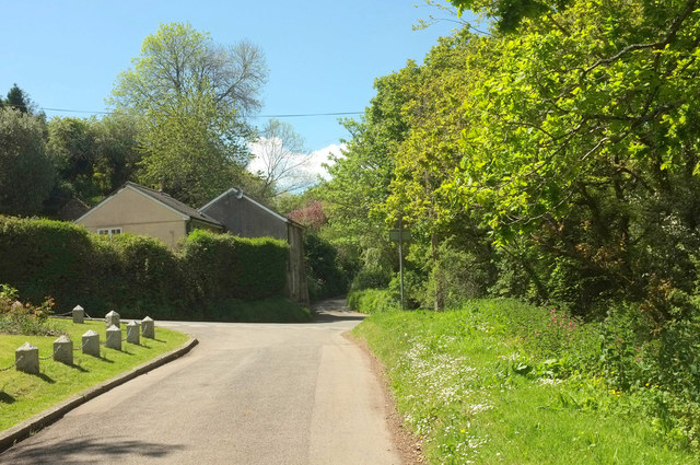
Image: © Derek Harper Taken: 11 May 2019
The pyramid-capped stone posts can be recognised in Image Across the junction where that image was taken is Sunwell Lane Image The house on the corner is Bridge Cottage; the stream associated with the bridge flows on this side of the trees on the immediate right.
Images are licensed for reuse under creativecommons.org/licenses/by-sa/2.0
Image Location


Leaflet Map data © OpenStreetMap
Latitude
50.361606
Longitude
-4.240311