Brixton Jamm
Introduction
The photograph on this page of Brixton Jamm by PAUL FARMER as part of the Geograph project.
The Geograph project started in 2005 with the aim of publishing, organising and preserving representative images for every square kilometre of Great Britain, Ireland and the Isle of Man.

There are currently over 7.5m images from over 14,400 individuals and you can help contribute to the project by visiting https://www.geograph.org.uk
Brixton Jamm
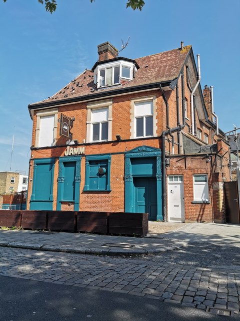
Image: © PAUL FARMER Taken: 15 May 2019
Brixton Jamm has been a 18th century inn, a 19th century public house (Ye Old White Horse) and now a multi-purpose music venue with club nights, bar and an outdoor terrace space.
Images are licensed for reuse under creativecommons.org/licenses/by-sa/2.0
Image Location
Latitude
51.470546
Longitude
-0.112013