Gosport: White Hart (fa?ade detail)
Introduction
The photograph on this page of Gosport: White Hart (fa?ade detail) by Chris Downer as part of the Geograph project.
The Geograph project started in 2005 with the aim of publishing, organising and preserving representative images for every square kilometre of Great Britain, Ireland and the Isle of Man.

There are currently over 7.5m images from over 14,400 individuals and you can help contribute to the project by visiting https://www.geograph.org.uk
Gosport: White Hart (fa?ade detail)
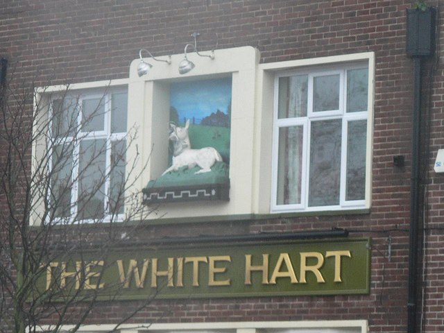
Image: © Chris Downer Taken: 18 Nov 2007
A close-up of the relief sign on the Image
Images are licensed for reuse under creativecommons.org/licenses/by-sa/2.0
Image Location
Latitude
50.792066
Longitude
-1.138622