Boarded-up Building next to St Lawrence's Church
Introduction
The photograph on this page of Boarded-up Building next to St Lawrence's Church by David Dixon as part of the Geograph project.
The Geograph project started in 2005 with the aim of publishing, organising and preserving representative images for every square kilometre of Great Britain, Ireland and the Isle of Man.

There are currently over 7.5m images from over 14,400 individuals and you can help contribute to the project by visiting https://www.geograph.org.uk
Boarded-up Building next to St Lawrence's Church
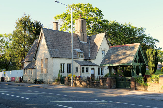
Image: © David Dixon Taken: 11 May 2019
This building, at the north-west corner of St Lawrence's churchyard, looks as though it might have been associated with the church at one time (perhaps a schoolhouse?) but it is currently disused.
Images are licensed for reuse under creativecommons.org/licenses/by-sa/2.0
Image Location
Latitude
53.828885
Longitude
-2.737131