Millbrook
Introduction
The photograph on this page of Millbrook by Derek Harper as part of the Geograph project.
The Geograph project started in 2005 with the aim of publishing, organising and preserving representative images for every square kilometre of Great Britain, Ireland and the Isle of Man.

There are currently over 7.5m images from over 14,400 individuals and you can help contribute to the project by visiting https://www.geograph.org.uk
Millbrook
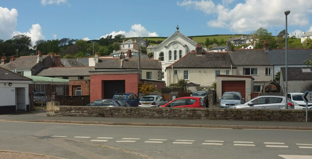
Image: © Derek Harper Taken: 11 May 2019
From Greenland, across the junction with The Parade. Prominently rising above houses in the centre is the Methodist Church, 1873, listed and described at https://historicengland.org.uk/listing/the-list/list-entry/1309932 .
Images are licensed for reuse under creativecommons.org/licenses/by-sa/2.0
Image Location
Latitude
50.348208
Longitude
-4.216627