Llanfair Clydogau direction sign, Lampeter
Introduction
The photograph on this page of Llanfair Clydogau direction sign, Lampeter by Jaggery as part of the Geograph project.
The Geograph project started in 2005 with the aim of publishing, organising and preserving representative images for every square kilometre of Great Britain, Ireland and the Isle of Man.

There are currently over 7.5m images from over 14,400 individuals and you can help contribute to the project by visiting https://www.geograph.org.uk
Llanfair Clydogau direction sign, Lampeter
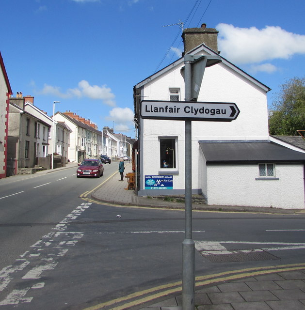
Image: © Jaggery Taken: 11 May 2019
The sign alongside the A482 points right along Llanfair Road. Llanfair Clydogau Image is about 6km away.
Images are licensed for reuse under creativecommons.org/licenses/by-sa/2.0
Image Location


Leaflet Map data © OpenStreetMap
Latitude
52.109971
Longitude
-4.075142