Disputed footpath
Introduction
The photograph on this page of Disputed footpath by Jonathan Thacker as part of the Geograph project.
The Geograph project started in 2005 with the aim of publishing, organising and preserving representative images for every square kilometre of Great Britain, Ireland and the Isle of Man.

There are currently over 7.5m images from over 14,400 individuals and you can help contribute to the project by visiting https://www.geograph.org.uk
Disputed footpath
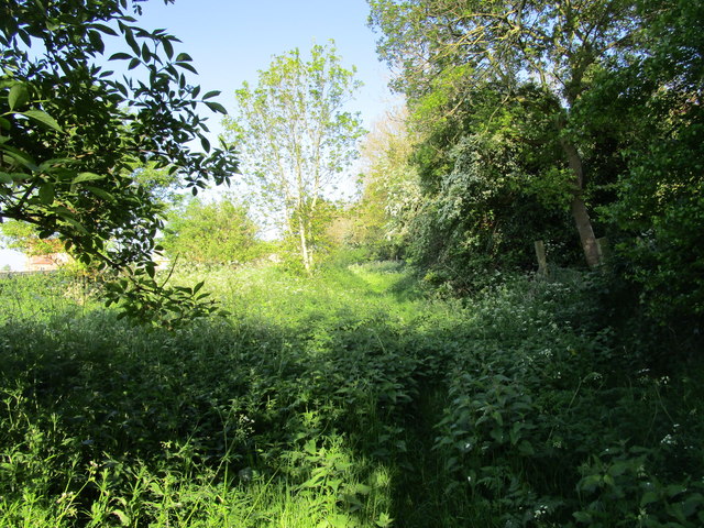
Image: © Jonathan Thacker Taken: 14 May 2019
Marked as a footpath on older OS maps but not on more recent ones. Nonetheless it is waymarked from the western end and stiles are in place. However it is little used (four stiles in a very short distance is not encouraging) and the landowner is seeking to have it formally closed. An alternative permissive path a little to the north is available.
Images are licensed for reuse under creativecommons.org/licenses/by-sa/2.0
Image Location
Latitude
53.038192
Longitude
-0.466497