River Bulbourne in Bourne End
Introduction
The photograph on this page of River Bulbourne in Bourne End by Nigel Cox as part of the Geograph project.
The Geograph project started in 2005 with the aim of publishing, organising and preserving representative images for every square kilometre of Great Britain, Ireland and the Isle of Man.

There are currently over 7.5m images from over 14,400 individuals and you can help contribute to the project by visiting https://www.geograph.org.uk
River Bulbourne in Bourne End
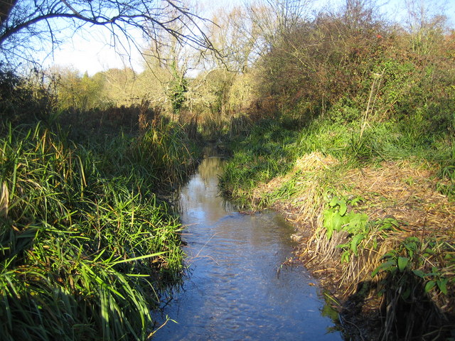
Image: © Nigel Cox Taken: 15 Nov 2007
The Grand Union Canal was built along the valley of the River Bulbourne from Hemel Hempstead to Tring, paralleling it for much of the way. This is the shallow and clear Bulbourne photographed a couple of metres off the canal towpath which is to the right.
Images are licensed for reuse under creativecommons.org/licenses/by-sa/2.0
Image Location


Leaflet Map data © OpenStreetMap
Latitude
51.747977
Longitude
-0.528249