Footpath loop between the River Beane and the River Lea
Introduction
The photograph on this page of Footpath loop between the River Beane and the River Lea by Julian Paren as part of the Geograph project.
The Geograph project started in 2005 with the aim of publishing, organising and preserving representative images for every square kilometre of Great Britain, Ireland and the Isle of Man.

There are currently over 7.5m images from over 14,400 individuals and you can help contribute to the project by visiting https://www.geograph.org.uk
Footpath loop between the River Beane and the River Lea
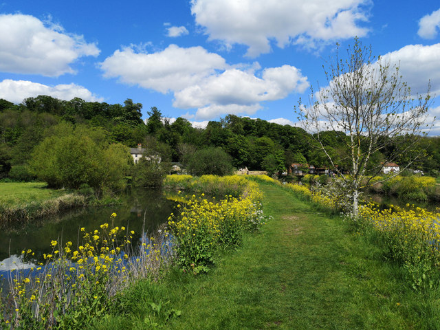
Image: © Julian Paren Taken: 12 May 2019
The narrow neck of land shows signs of slumping and erosion so there is an expectation that one day the loop of the footpath will be an island in the rivers. The path is part of the network of paths on Hartham Common.
Images are licensed for reuse under creativecommons.org/licenses/by-sa/2.0
Image Location


Leaflet Map data © OpenStreetMap
Latitude
51.806713
Longitude
-0.064201