Lane near Hollick Farm
Introduction
The photograph on this page of Lane near Hollick Farm by Derek Harper as part of the Geograph project.
The Geograph project started in 2005 with the aim of publishing, organising and preserving representative images for every square kilometre of Great Britain, Ireland and the Isle of Man.

There are currently over 7.5m images from over 14,400 individuals and you can help contribute to the project by visiting https://www.geograph.org.uk
Lane near Hollick Farm
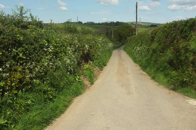
Image: © Derek Harper Taken: 4 May 2019
The farm is up a lane to the right from the junction where this was taken; the lane shown here heads down to Bustley Bridge.
Images are licensed for reuse under creativecommons.org/licenses/by-sa/2.0
Image Location


Leaflet Map data © OpenStreetMap
Latitude
51.010126
Longitude
-4.056875