St Johns Cottages, Camber Road, East Guldeford
Introduction
The photograph on this page of St Johns Cottages, Camber Road, East Guldeford by Simon Carey as part of the Geograph project.
The Geograph project started in 2005 with the aim of publishing, organising and preserving representative images for every square kilometre of Great Britain, Ireland and the Isle of Man.

There are currently over 7.5m images from over 14,400 individuals and you can help contribute to the project by visiting https://www.geograph.org.uk
St Johns Cottages, Camber Road, East Guldeford
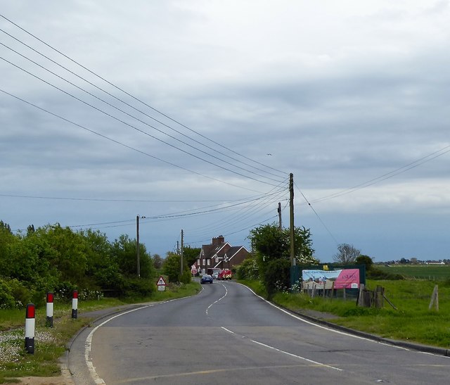
Image: © Simon Carey Taken: 10 May 2019
A single cottage was marked on East Guldeford's 1839 tithe map but had become three by the time of an 1883 OS map.
Images are licensed for reuse under creativecommons.org/licenses/by-sa/2.0
Image Location


Leaflet Map data © OpenStreetMap
Latitude
50.957134
Longitude
0.756395