Road towards The Falcondale, Lampeter
Introduction
The photograph on this page of Road towards The Falcondale, Lampeter by Jaggery as part of the Geograph project.
The Geograph project started in 2005 with the aim of publishing, organising and preserving representative images for every square kilometre of Great Britain, Ireland and the Isle of Man.

There are currently over 7.5m images from over 14,400 individuals and you can help contribute to the project by visiting https://www.geograph.org.uk
Road towards The Falcondale, Lampeter
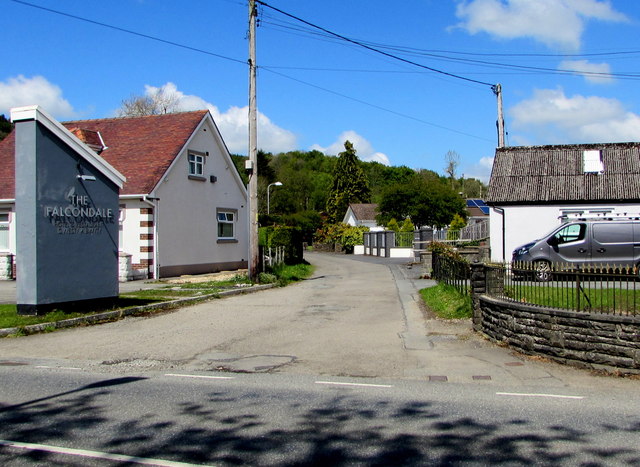
Image: © Jaggery Taken: 11 May 2019
From the A475 Pontfaen Road near a grey The Falcondale name sign, the road leads to Falcondale Road towards the Falcondale hotel & restaurant https://www.geograph.org.uk/photo/2643618 about 1.2km ahead.
Images are licensed for reuse under creativecommons.org/licenses/by-sa/2.0
Image Location


Leaflet Map data © OpenStreetMap
Latitude
52.114157
Longitude
-4.087605