Barking Curfew Tower
Introduction
The photograph on this page of Barking Curfew Tower by JThomas as part of the Geograph project.
The Geograph project started in 2005 with the aim of publishing, organising and preserving representative images for every square kilometre of Great Britain, Ireland and the Isle of Man.

There are currently over 7.5m images from over 14,400 individuals and you can help contribute to the project by visiting https://www.geograph.org.uk
Barking Curfew Tower
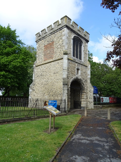
Image: © JThomas Taken: 11 May 2019
The Curfew Tower, also known as the Fire Bell Gate, was one of the abbey's three gateways and is the only part of the abbey not in ruins.
Images are licensed for reuse under creativecommons.org/licenses/by-sa/2.0
Image Location


Leaflet Map data © OpenStreetMap
Latitude
51.535981
Longitude
0.076128