River Lea
Introduction
The photograph on this page of River Lea by JThomas as part of the Geograph project.
The Geograph project started in 2005 with the aim of publishing, organising and preserving representative images for every square kilometre of Great Britain, Ireland and the Isle of Man.

There are currently over 7.5m images from over 14,400 individuals and you can help contribute to the project by visiting https://www.geograph.org.uk
River Lea
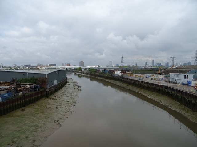
Image: © JThomas Taken: 11 May 2019
The River Lea rises in the Chiltern Hills and flows south east through east London where it joins the River Thames. View north west from the bridge on the A13.
Images are licensed for reuse under creativecommons.org/licenses/by-sa/2.0
Image Location
Latitude
51.515395
Longitude
0.003271