Cyffordd o draciau / Junction of tracks
Introduction
The photograph on this page of Cyffordd o draciau / Junction of tracks by Alan Richards as part of the Geograph project.
The Geograph project started in 2005 with the aim of publishing, organising and preserving representative images for every square kilometre of Great Britain, Ireland and the Isle of Man.

There are currently over 7.5m images from over 14,400 individuals and you can help contribute to the project by visiting https://www.geograph.org.uk
Cyffordd o draciau / Junction of tracks
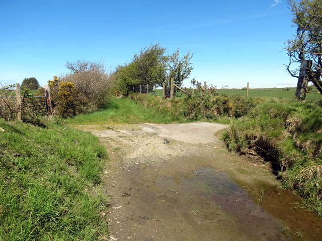
Image: © Alan Richards Taken: 12 May 2019
Cyffordd o draciau uwchen Ffarm Brynllwyd. A junction of tracks above Brynllwyd Farm (trans. greyhill).
Images are licensed for reuse under creativecommons.org/licenses/by-sa/2.0
Image Location


Leaflet Map data © OpenStreetMap
Latitude
52.106643
Longitude
-4.256216