Permissive path, North Rauceby Heath
Introduction
The photograph on this page of Permissive path, North Rauceby Heath by Jonathan Thacker as part of the Geograph project.
The Geograph project started in 2005 with the aim of publishing, organising and preserving representative images for every square kilometre of Great Britain, Ireland and the Isle of Man.

There are currently over 7.5m images from over 14,400 individuals and you can help contribute to the project by visiting https://www.geograph.org.uk
Permissive path, North Rauceby Heath
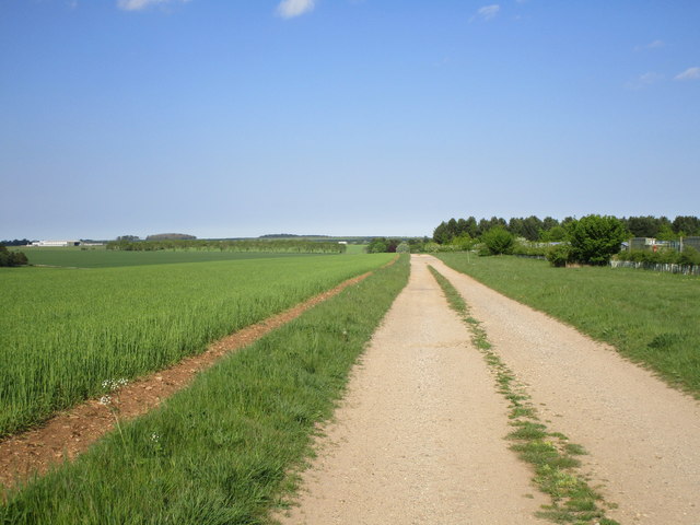
Image: © Jonathan Thacker Taken: 12 May 2019
A solar farm beyond the fence on the right.
Images are licensed for reuse under creativecommons.org/licenses/by-sa/2.0
Image Location
Latitude
53.014771
Longitude
-0.498036