Sign on Cock-ma-Lane
Introduction
The photograph on this page of Sign on Cock-ma-Lane by Bill Kasman as part of the Geograph project.
The Geograph project started in 2005 with the aim of publishing, organising and preserving representative images for every square kilometre of Great Britain, Ireland and the Isle of Man.

There are currently over 7.5m images from over 14,400 individuals and you can help contribute to the project by visiting https://www.geograph.org.uk
Sign on Cock-ma-Lane
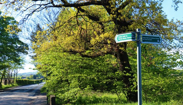
Image: © Bill Kasman Taken: 12 May 2019
Cock-ma-Lane runs right-left here and crosses the Leven to Kennoway Road (visible).
Images are licensed for reuse under creativecommons.org/licenses/by-sa/2.0
Image Location
Latitude
56.204786
Longitude
-3.017253