Glenone Bridge over Clady River
Introduction
The photograph on this page of Glenone Bridge over Clady River by Peter Keenan as part of the Geograph project.
The Geograph project started in 2005 with the aim of publishing, organising and preserving representative images for every square kilometre of Great Britain, Ireland and the Isle of Man.

There are currently over 7.5m images from over 14,400 individuals and you can help contribute to the project by visiting https://www.geograph.org.uk
Glenone Bridge over Clady River
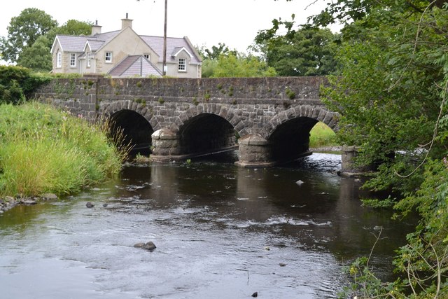
Image: © Peter Keenan Taken: 15 Aug 2018
The Glenone Bridge is on Moneygram Road (A54) (sometimes called Kilrea Road) a short distance (say 100 metres) from the intersection with Clady Road (A42) in Glenone, County Londonderry, Northern Ireland. This photo was taken from the west side of the bridge, looking north-east. The building in the background is a modern house on the other side (east side) of Moneygran Road (Kilrea Road). Nearest village is Clady, County Londonderry. The nearest main township is Portglenone.
Images are licensed for reuse under creativecommons.org/licenses/by-sa/2.0
Image Location
Latitude
54.872737
Longitude
-6.500509