Path from Peterwell Terrace to Lampeter Swimming Pool
Introduction
The photograph on this page of Path from Peterwell Terrace to Lampeter Swimming Pool by Jaggery as part of the Geograph project.
The Geograph project started in 2005 with the aim of publishing, organising and preserving representative images for every square kilometre of Great Britain, Ireland and the Isle of Man.

There are currently over 7.5m images from over 14,400 individuals and you can help contribute to the project by visiting https://www.geograph.org.uk
Path from Peterwell Terrace to Lampeter Swimming Pool
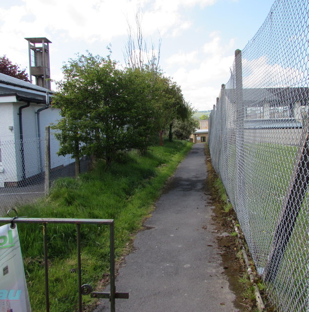
Image: © Jaggery Taken: 11 May 2019
A nearby nameboard https://www.geograph.org.uk/photo/6148549 shows that Lampeter Swimming Pool is Pŵll Nofio Llambed in Welsh. Lampeter Fire & Rescue Station's training tower is on the left.
Images are licensed for reuse under creativecommons.org/licenses/by-sa/2.0
Image Location
Latitude
52.11103
Longitude
-4.081325