Field near Fishleigh Bridge
Introduction
The photograph on this page of Field near Fishleigh Bridge by Derek Harper as part of the Geograph project.
The Geograph project started in 2005 with the aim of publishing, organising and preserving representative images for every square kilometre of Great Britain, Ireland and the Isle of Man.

There are currently over 7.5m images from over 14,400 individuals and you can help contribute to the project by visiting https://www.geograph.org.uk
Field near Fishleigh Bridge
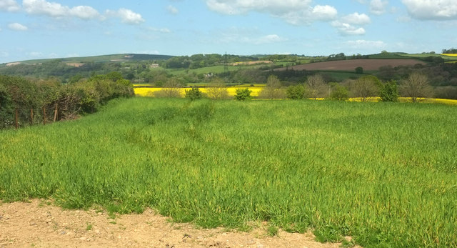
Image: © Derek Harper Taken: 4 May 2019
The hedge on the left runs alongside the lane from Atherington. The row of trees across this field are along the A377. Above the left end of the oilseed rape field is Hall House, a grade II* listed country house Image, in Image
Images are licensed for reuse under creativecommons.org/licenses/by-sa/2.0
Image Location
Latitude
51.003907
Longitude
-4.016404