Wrightington Sub-Station
Introduction
The photograph on this page of Wrightington Sub-Station by David Hignett as part of the Geograph project.
The Geograph project started in 2005 with the aim of publishing, organising and preserving representative images for every square kilometre of Great Britain, Ireland and the Isle of Man.

There are currently over 7.5m images from over 14,400 individuals and you can help contribute to the project by visiting https://www.geograph.org.uk
Wrightington Sub-Station
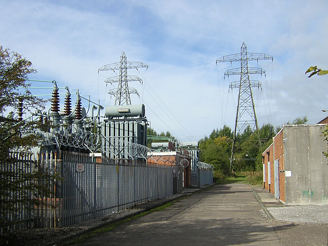
Image: © David Hignett Taken: 28 Sep 2005
This quite substantial sub-station is surprisingly well-concealed at the side of the M6
Images are licensed for reuse under creativecommons.org/licenses/by-sa/2.0
Image Location
Latitude
53.616957
Longitude
-2.689291