Land to the south of the former Ridgeway School, by Coventry Road, Warwick
Introduction
The photograph on this page of Land to the south of the former Ridgeway School, by Coventry Road, Warwick by Robin Stott as part of the Geograph project.
The Geograph project started in 2005 with the aim of publishing, organising and preserving representative images for every square kilometre of Great Britain, Ireland and the Isle of Man.

There are currently over 7.5m images from over 14,400 individuals and you can help contribute to the project by visiting https://www.geograph.org.uk
Land to the south of the former Ridgeway School, by Coventry Road, Warwick
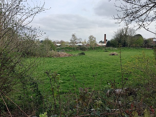
Image: © Robin Stott Taken: 9 Apr 2019
The Montague Road industrial estate is in the background; the canal is on the right edge of the picture. Image is a view back from further south in more structured times: 2009.
Images are licensed for reuse under creativecommons.org/licenses/by-sa/2.0
Image Location
Latitude
52.291376
Longitude
-1.577117