Green Lane
Introduction
The photograph on this page of Green Lane by Martin Addison as part of the Geograph project.
The Geograph project started in 2005 with the aim of publishing, organising and preserving representative images for every square kilometre of Great Britain, Ireland and the Isle of Man.

There are currently over 7.5m images from over 14,400 individuals and you can help contribute to the project by visiting https://www.geograph.org.uk
Green Lane
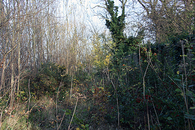
Image: © Martin Addison Taken: 12 Nov 2007
Remains of an old lane that ran between Long Lane and East End Road. The lane predates 1800 and probably fell into disuse with the advent of a metalled road adjacent - now the North Circular Road. The fence at the end marks the Northern Line boundary and prevents access to the railway where the lane used to cross on a bridge. The wall on the right is the back of the playing fields belonging to Bishop Douglas school.
Images are licensed for reuse under creativecommons.org/licenses/by-sa/2.0
Image Location
Latitude
51.595628
Longitude
-0.180031