Briar Close
Introduction
The photograph on this page of Briar Close by Martin Addison as part of the Geograph project.
The Geograph project started in 2005 with the aim of publishing, organising and preserving representative images for every square kilometre of Great Britain, Ireland and the Isle of Man.

There are currently over 7.5m images from over 14,400 individuals and you can help contribute to the project by visiting https://www.geograph.org.uk
Briar Close
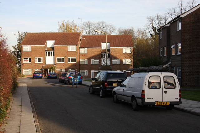
Image: © Martin Addison Taken: 12 Nov 2007
The northeastern end of Briar Close. Briar close is built on land between the North Circular and a disused lane, known locally as Green Lane. The remains of that lane can still be found in the trees visible between the housing in this photo.
Images are licensed for reuse under creativecommons.org/licenses/by-sa/2.0
Image Location
Latitude
51.595643
Longitude
-0.181042