Paved area at Roundhay Road/Roseville Road junction
Introduction
The photograph on this page of Paved area at Roundhay Road/Roseville Road junction by Hamish Griffin as part of the Geograph project.
The Geograph project started in 2005 with the aim of publishing, organising and preserving representative images for every square kilometre of Great Britain, Ireland and the Isle of Man.

There are currently over 7.5m images from over 14,400 individuals and you can help contribute to the project by visiting https://www.geograph.org.uk
Paved area at Roundhay Road/Roseville Road junction
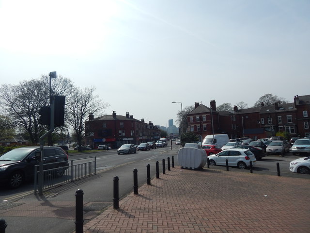
Image: © Hamish Griffin Taken: 18 Apr 2019
Roseville Road is to the left, Roundhay Road is ahead.
Images are licensed for reuse under creativecommons.org/licenses/by-sa/2.0
Image Location
Latitude
53.81151
Longitude
-1.523252