Construction in Dalmonach
Introduction
The photograph on this page of Construction in Dalmonach by Lairich Rig as part of the Geograph project.
The Geograph project started in 2005 with the aim of publishing, organising and preserving representative images for every square kilometre of Great Britain, Ireland and the Isle of Man.

There are currently over 7.5m images from over 14,400 individuals and you can help contribute to the project by visiting https://www.geograph.org.uk
Construction in Dalmonach
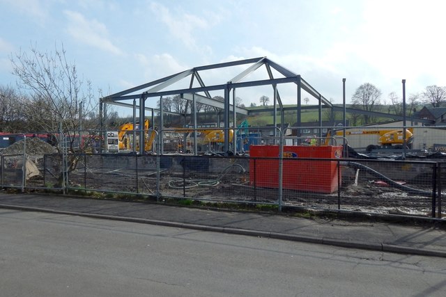
Image: © Lairich Rig Taken: 5 Apr 2019
This is a view, from Second Avenue, of the construction of Dalmonach Community Centre and Early Learning Centre.
Images are licensed for reuse under creativecommons.org/licenses/by-sa/2.0
Image Location
Latitude
55.986419
Longitude
-4.569396