Track from Mains of Geanies towards the coast
Introduction
The photograph on this page of Track from Mains of Geanies towards the coast by Julian Paren as part of the Geograph project.
The Geograph project started in 2005 with the aim of publishing, organising and preserving representative images for every square kilometre of Great Britain, Ireland and the Isle of Man.

There are currently over 7.5m images from over 14,400 individuals and you can help contribute to the project by visiting https://www.geograph.org.uk
Track from Mains of Geanies towards the coast
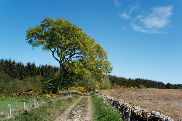
Image: © Julian Paren Taken: 7 May 2019
The track continues by Tarrel Burn, backed by coniferous woodland, before sloping easily downhill to the coastal strip of land.
Images are licensed for reuse under creativecommons.org/licenses/by-sa/2.0
Image Location
Latitude
57.796563
Longitude
-3.861319