Former Methodist Church, Stoke Hammond (2)
Introduction
The photograph on this page of Former Methodist Church, Stoke Hammond (2) by David Hillas as part of the Geograph project.
The Geograph project started in 2005 with the aim of publishing, organising and preserving representative images for every square kilometre of Great Britain, Ireland and the Isle of Man.

There are currently over 7.5m images from over 14,400 individuals and you can help contribute to the project by visiting https://www.geograph.org.uk
Former Methodist Church, Stoke Hammond (2)
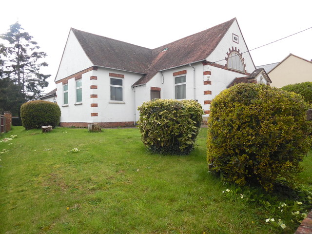
Image: © David Hillas Taken: 12 Apr 2019
Taken from Newton Road, this photo shows the East side of the church with bushes and primroses in the garden. Following the cessation of Sunday services in this church from May 2019, it remains to be seen what will happen to this building.
Images are licensed for reuse under creativecommons.org/licenses/by-sa/2.0
Image Location
Latitude
51.956939
Longitude
-0.720359