Isolated house between Tregenna and Treviskey
Introduction
The photograph on this page of Isolated house between Tregenna and Treviskey by Simon Mortimer as part of the Geograph project.
The Geograph project started in 2005 with the aim of publishing, organising and preserving representative images for every square kilometre of Great Britain, Ireland and the Isle of Man.

There are currently over 7.5m images from over 14,400 individuals and you can help contribute to the project by visiting https://www.geograph.org.uk
Isolated house between Tregenna and Treviskey
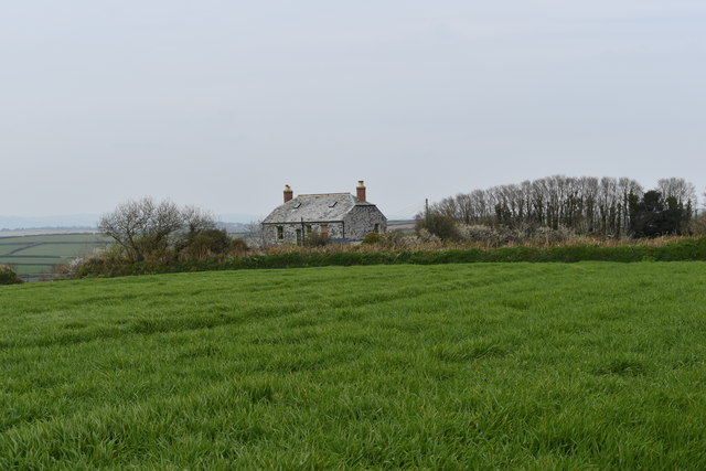
Image: © Simon Mortimer Taken: 13 Apr 2019
The house, Penhale, dates back to the late 19th Century.
Images are licensed for reuse under creativecommons.org/licenses/by-sa/2.0
Image Location
Latitude
50.230778
Longitude
-4.886231