Cycle route 468 marker near Rhymney
Introduction
The photograph on this page of Cycle route 468 marker near Rhymney by Jaggery as part of the Geograph project.
The Geograph project started in 2005 with the aim of publishing, organising and preserving representative images for every square kilometre of Great Britain, Ireland and the Isle of Man.

There are currently over 7.5m images from over 14,400 individuals and you can help contribute to the project by visiting https://www.geograph.org.uk
Cycle route 468 marker near Rhymney
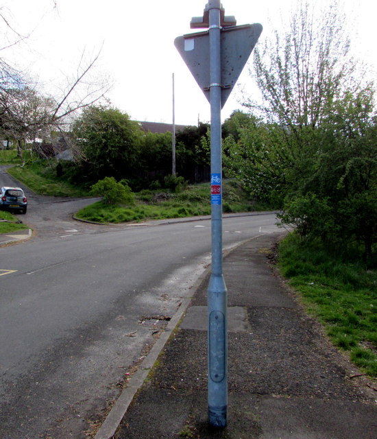
Image: © Jaggery Taken: 4 May 2019
On a traffic sign pole alongside the minor road from Rhymney to Abertysswg. National Cycle Network route 468 extends from Bargoed to the Rhymney Valley via New Tredegar.
Images are licensed for reuse under creativecommons.org/licenses/by-sa/2.0
Image Location
Latitude
51.750415
Longitude
-3.278194