Unnamed side road at the southern edge of Rhymney
Introduction
The photograph on this page of Unnamed side road at the southern edge of Rhymney by Jaggery as part of the Geograph project.
The Geograph project started in 2005 with the aim of publishing, organising and preserving representative images for every square kilometre of Great Britain, Ireland and the Isle of Man.

There are currently over 7.5m images from over 14,400 individuals and you can help contribute to the project by visiting https://www.geograph.org.uk
Unnamed side road at the southern edge of Rhymney
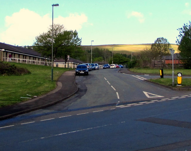
Image: © Jaggery Taken: 4 May 2019
Dead-end road on the west side of the B4257 Wellington Way.
Images are licensed for reuse under creativecommons.org/licenses/by-sa/2.0
Image Location
Latitude
51.750576
Longitude
-3.279936